|
| *****SWAAG_ID***** | 188 |
| Date Entered | 15/05/2011 |
| Updated on | 15/05/2011 |
| Recorded by | Tim Laurie |
| Category | Settlement |
| Record Type | Archaeology |
| Site Access | Army Range |
| Record Date | 26/03/2007 |
| Location | Dicky Edge West. Within Feldom Army Ranges. |
| Civil Parish | Marske |
| Brit. National Grid | Hidden |
| Altitude | 325m |
| Geology | Kame terrace below Richmond Cherts. |
| Record Name | Unenclosed round house settlement below Dicky Edge (West). |
| Record Description | Group of at least four conjoined round house enclosures (hut circles) with slight remains of associated field system and two burnt mounds (recorded seperately) on moorland above Throstle Gill. |
| Dimensions | See photographs. |
| Additional Notes | This unenclosed settlement is located just 250m SW of the two burnt mounds above the westward extension of Dicky Edge (recorded seperately) and may be associated with these sites.
All the above features,ie the round house settlement, field system and the two burnt mounds, should be collectively considered as one settlement complex which is likely to be of Mid Bronze Age date. |
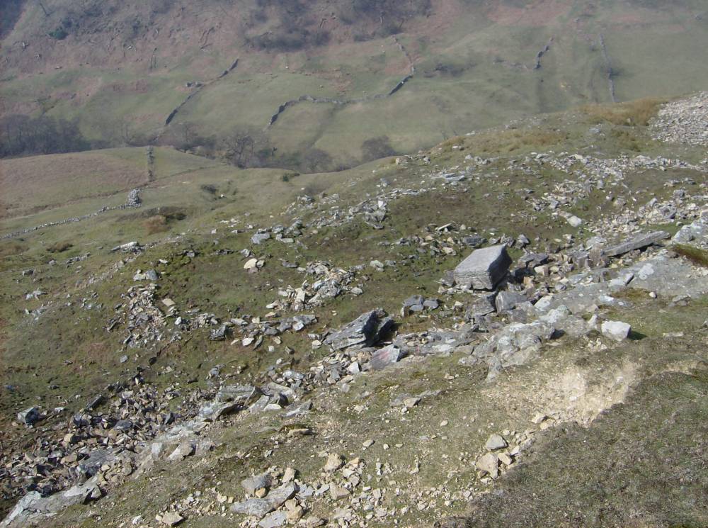
| Image 1 ID | 647 Click image to enlarge |
| Image 1 Description | Round house settlement below Dicky Edge West. | 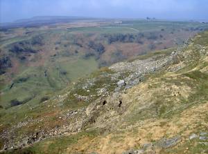 |
| Image 2 ID | 648 Click image to enlarge |
| Image 2 Description | Round house settlement below Dicky Edge West. | 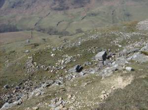 |
| Image 3 ID | 649 Click image to enlarge |
| Image 3 Description | Round house settlement below Dicky Edge West. | 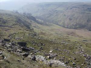 |
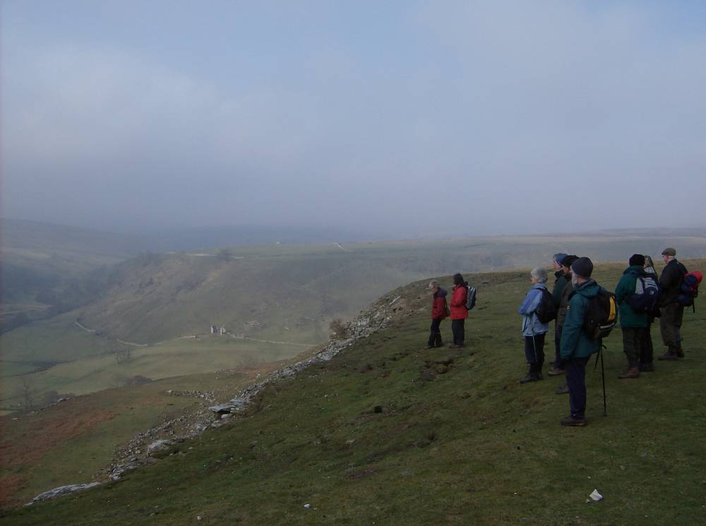
| Image 4 ID | 650 Click image to enlarge |
| Image 4 Description | Reeth museum Friends walk to Dicky Edge. March 2007. |  |